
Recent Work
A live feed of our latest surveying and mapping fieldwork across Lebanon.
Professional GNSS Survey Team Operations
TOPSURVEY field team performing a professional GNSS surveying mission using advanced RTK equipment for precise geospatial data collection and site positioning. The operation included coordinate acquisition, topographic measurements, and field verification to support engineering, infrastructure, and land surveying projects with high accuracy and reliable field performance
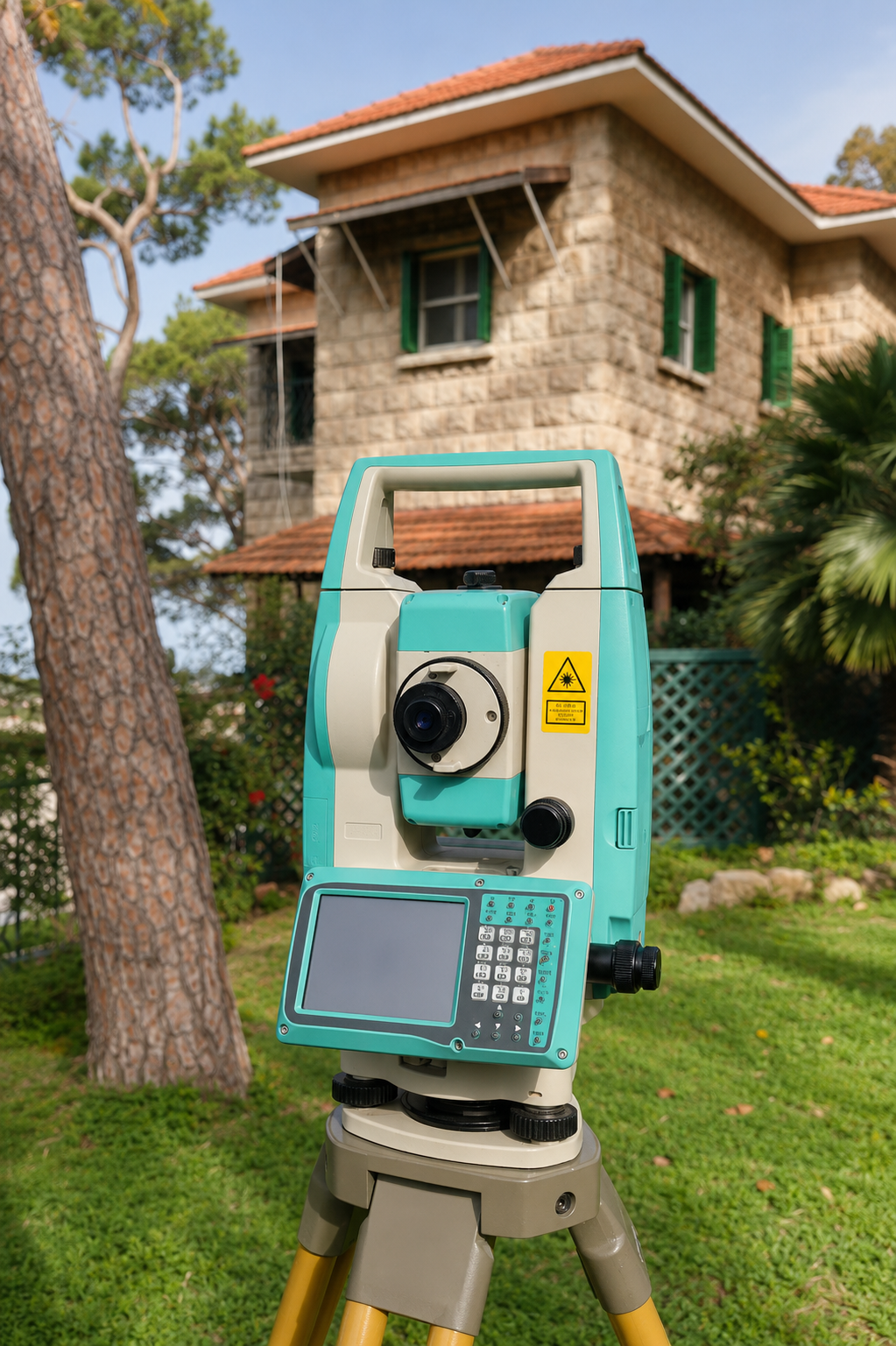
Advanced Total Station Surveying Operations
conducted a professional land surveying operation using advanced total station technology for high-precision measurements and spatial data collection. The image highlights modern surveying equipment used for boundary surveys, topographic mapping, construction layout, and engineering applications, ensuring accurate and reliable field results for development and infrastructure projects.
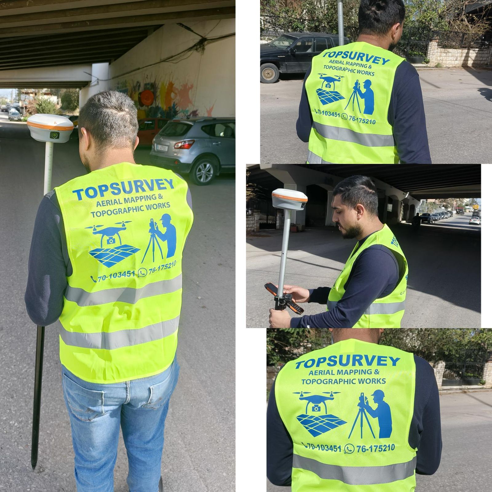
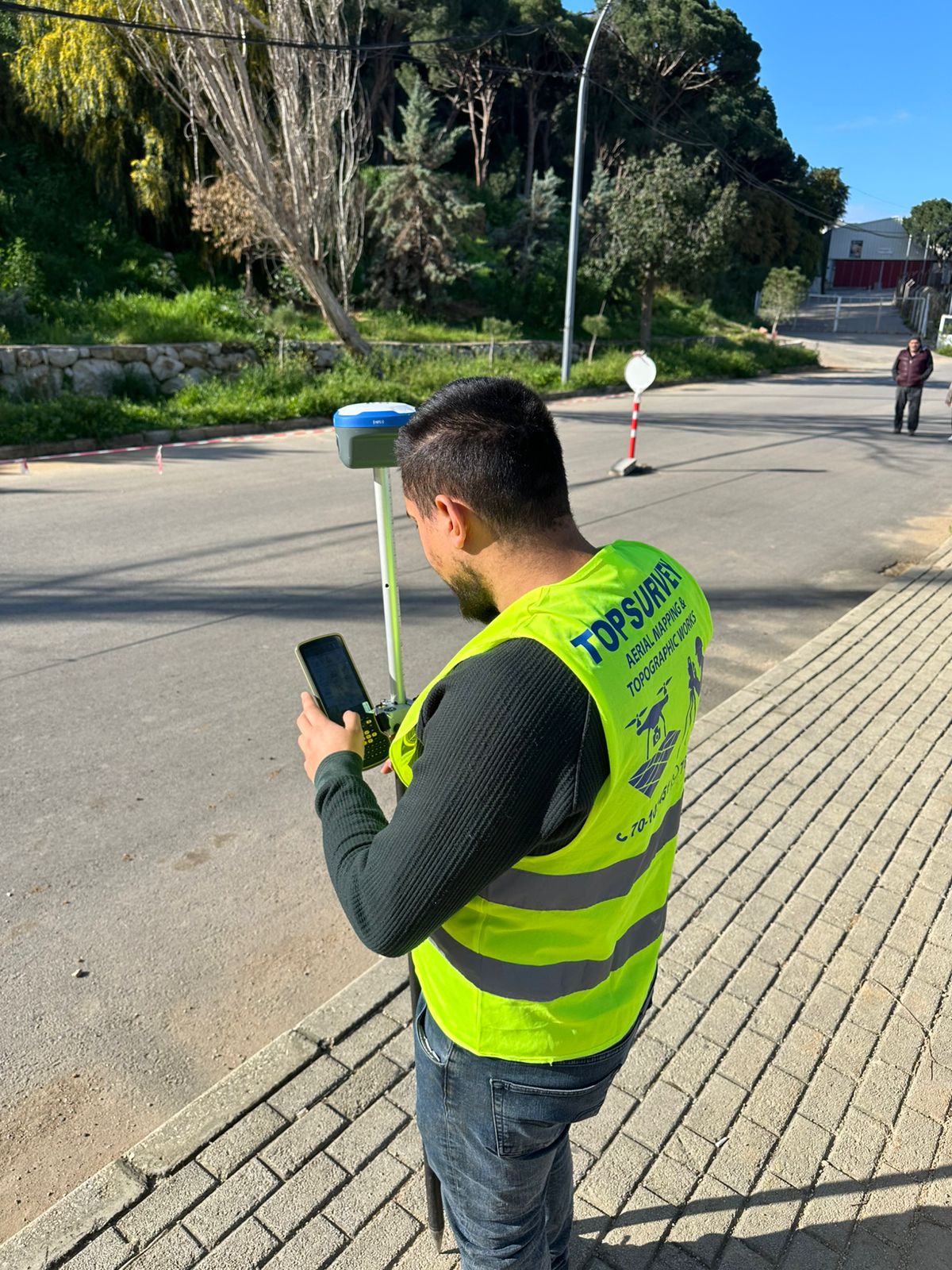
RTK GNSS Surveying & Field Data Collection
TOPSURVEY conducted a professional RTK GNSS surveying mission for precise field data collection and topographic mapping. The project included real-time coordinate acquisition, elevation measurements, and infrastructure survey operations using advanced GNSS technology. These high-accuracy surveying solutions support engineering design, construction planning, road mapping, and geospatial analysis with reliable and efficient field performance.
Drone Aerial Inspection & Mapping Operations
TOPSURVEY successfully created a high-precision 3D model using advanced drone photogrammetry technology. The video showcases a realistic digital reconstruction generated from aerial imagery captured by UAVs, providing detailed spatial visualization for engineering, construction, planning, and site analysis purposes. This workflow delivers accurate and efficient reality-capture solutions for modern surveying and infrastructure projects.
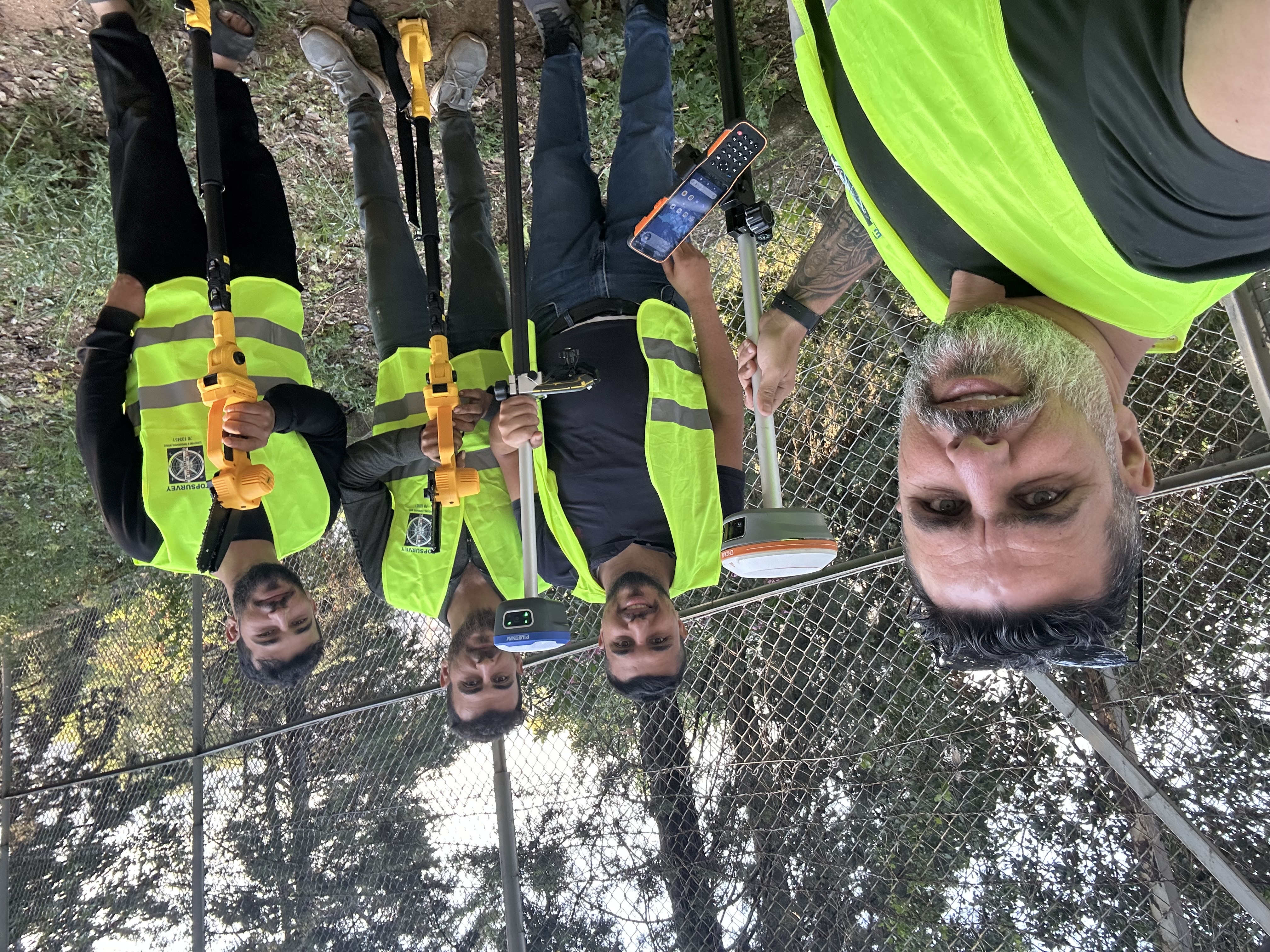
Total Station Survey & Precision Field Measurements
TOPSURVEY conducted a professional total station surveying operation for precise field measurements and geospatial data collection. The mission included accurate positioning, boundary verification, and topographic measurements to support engineering, construction, and infrastructure development projects. The image highlights the teamwork and advanced surveying techniques used to deliver reliable and high-precision
3D Laser Scanning & Reality Capture
TOPSURVEY performed a professional 3D laser scanning mission using advanced reality capture technology to collect highly accurate spatial data of the site. The scanning process generates detailed point clouds and precise digital models for engineering, architecture, construction, and as-built documentation purposes. The video demonstrates high-efficiency field operations and modern surveying solutions for capturing complex environments with millimeter-level precision.
Drone Takeoff & Aerial Survey Mission
TOPSURVEY successfully performed a drone takeoff operation as part of an aerial mapping and surveying mission. The video highlights the preparation and launch of the drone equipped for photogrammetry and geospatial data collection, supporting high-accuracy topographic surveys, orthophoto generation, and engineering mapping applications using advanced aerial technology.
GNSS Road Mapping & Field Survey Operations
TOPSURVEY performed an on-site GNSS road mapping and topographic data collection mission to support infrastructure and engineering studies. Using high-accuracy surveying equipment, the team captured precise coordinates, road geometry, and elevation data to assist in planning, design verification, and future development works with reliable geospatial accuracy.
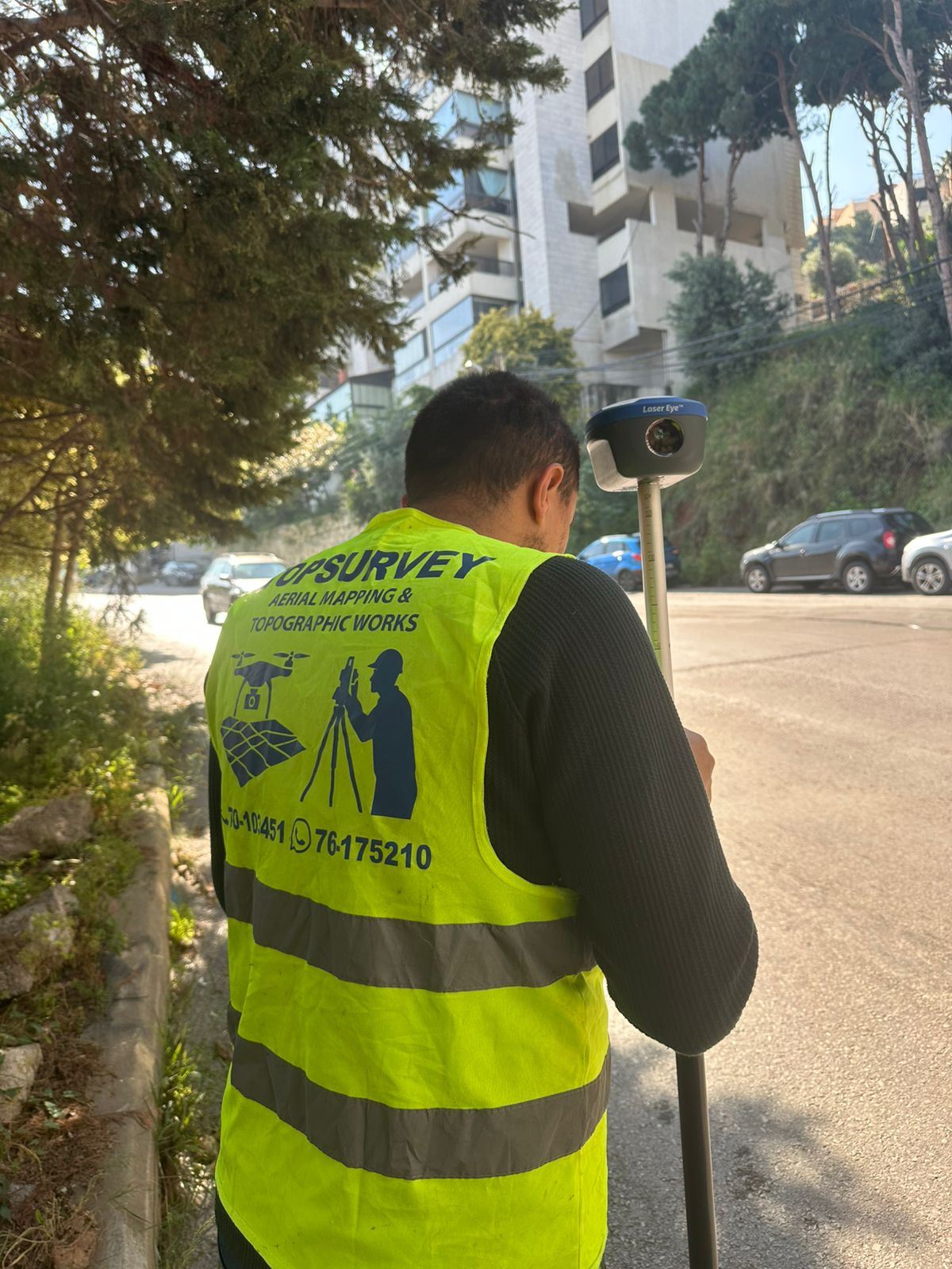
Road Survey & GNSS Data Collection
TOPSURVEY carried out a high-precision roadside topographic survey using advanced GNSS technology for accurate positioning and elevation data collection. The mission supported engineering and infrastructure planning works by providing reliable field measurements, road alignment verification, and detailed site mapping for future development and design purposes.
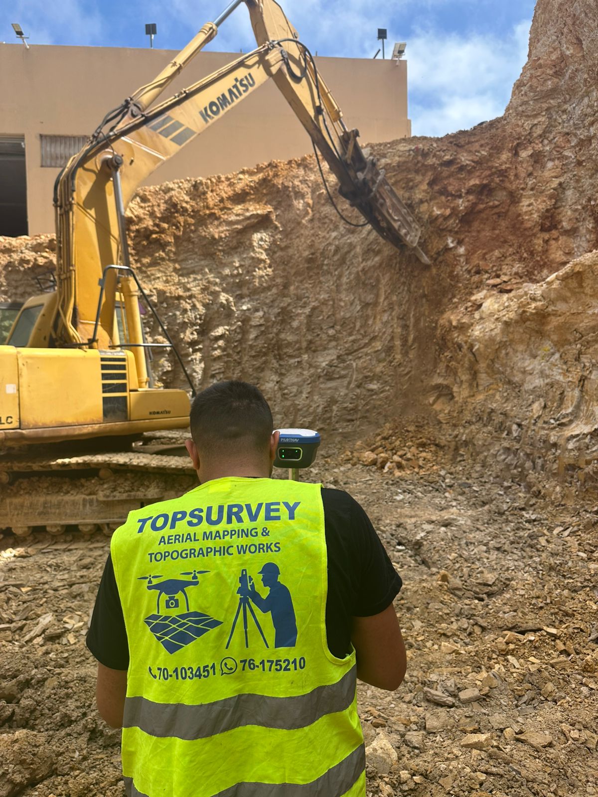
Excavation Monitoring & Topographic Survey
TOPSURVEY conducted a professional excavation monitoring and topographic surveying mission using advanced GNSS equipment to ensure accurate excavation levels, boundary control, and site positioning during ongoing construction works. The project included field measurements, elevation verification, and real-time site coordination to support safe and precise excavation operations.