Our Services
Comprehensive surveying and mapping solutions using cutting-edge technology to deliver precise, reliable results for your projects.
Topographic Works
Comprehensive land surveying and topographic mapping services for all types of projects.

Aerial Mapping
Advanced drone-based aerial mapping solutions for detailed orthophotos and 3D models.
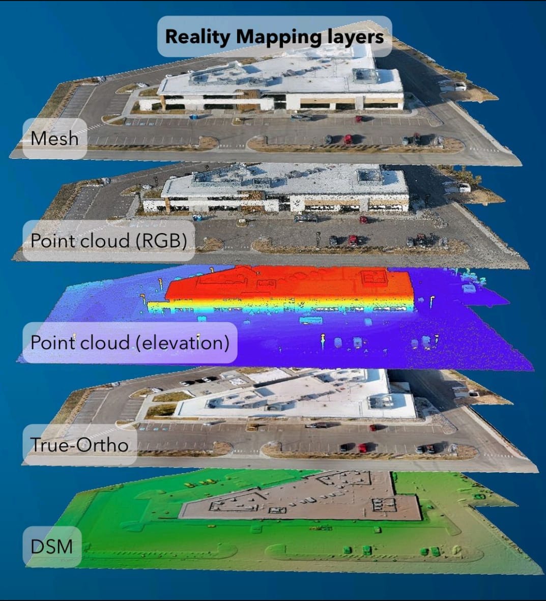
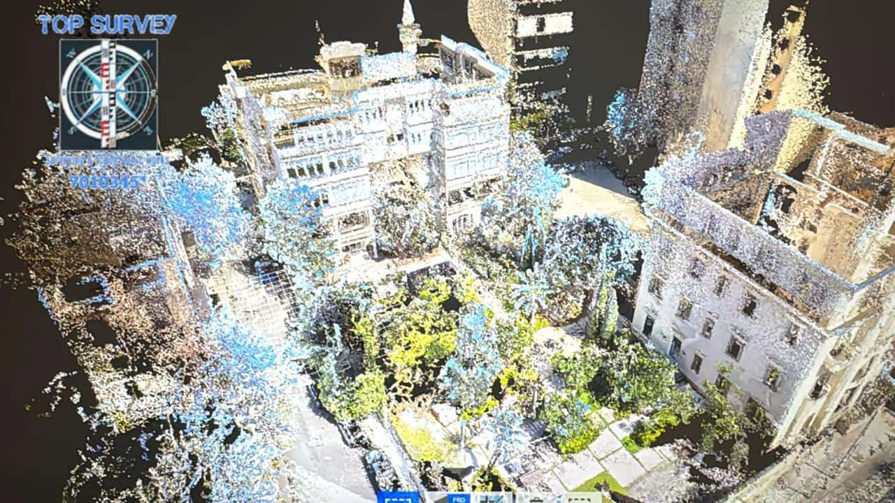
3D Laser Scanning
Precise 3D point cloud capture for detailed analysis and documentation.
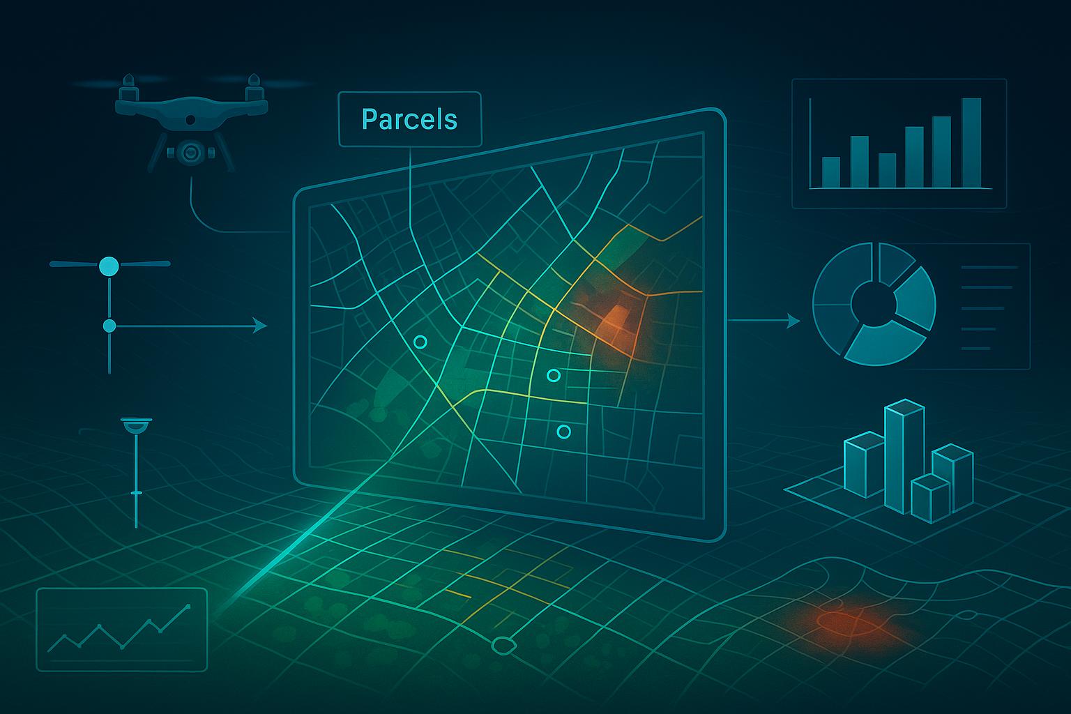
GIS & Data Analysis
Comprehensive geographic information systems and spatial data analysis services.
Our Process
A systematic approach ensuring quality results and client satisfaction
Consultation
Initial project assessment and requirement analysis
Planning
Detailed methodology and timeline development
Execution
Professional field work using advanced equipment
Delivery
Quality assurance and final deliverable presentation
Ready to Start Your Project?
Contact us today to discuss your surveying and mapping requirements. We'll provide a detailed proposal tailored to your specific needs.